
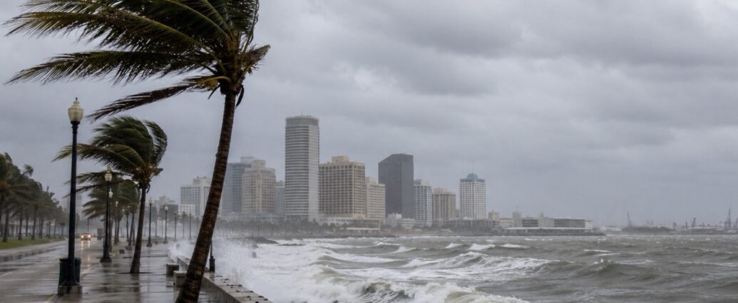
A tropical depression moving across the northern Gulf of Mexico is forecast to strengthen into Tropical Storm Bertha, prompting watches along portions of the Gulf Coast and raising concerns for one of America’s most important energy and shipping corridors. The National Hurricane Center issued advisories indicating the system could bring heavy rainfall, storm surge, localized flooding, and disruptions to ports, refineries, petrochemical facilities, and offshore energy operations as it tracks westward along the Gulf Coast.
The depression was located south of the Florida Panhandle with sustained winds near 30 mph and is expected to strengthen into a tropical storm as environmental conditions become more favorable. Tropical storm watches have been issued for parts of the Florida Panhandle, while storm surge watches extend across portions of the northern Gulf Coast. Forecast models indicate the system could eventually approach Louisiana before continuing toward the Texas coastline later in the week.
The projected path places the storm near one of the world’s most important concentrations of energy infrastructure. The Gulf Coast is home to a significant share of U.S. oil refining capacity, major liquefied natural gas export terminals, petrochemical manufacturing complexes, offshore production platforms, and several of the nation’s busiest commercial ports. Even a moderate tropical storm can slow vessel traffic, delay cargo movements, interrupt refinery operations, and temporarily reduce offshore energy production.
Houston, New Orleans, Mobile, and other Gulf ports serve as critical gateways for crude oil, refined fuels, chemicals, agricultural exports, and containerized freight. Shipping companies are closely monitoring updated forecasts as they determine whether to adjust vessel schedules, delay departures, or temporarily reroute cargo operations should conditions deteriorate.
Forecasters expect widespread rainfall totals between 4 and 8 inches, with isolated areas potentially receiving even greater amounts. Storm surge of several feet remains possible in vulnerable coastal communities, while localized flash flooding could affect transportation networks, industrial facilities, and distribution centers. Businesses operating throughout the Gulf region have begun reviewing contingency plans should flooding interrupt normal operations.
The storm also arrives after weeks of unusually wet weather across portions of Texas. Saturated ground conditions increase the risk that additional rainfall could trigger more significant flooding than would normally occur from a storm of similar strength. Emergency management officials throughout the region are coordinating with state and local agencies as forecasts continue evolving.
Energy markets are watching closely because even precautionary shutdowns can temporarily tighten fuel supplies and influence commodity prices. Offshore operators routinely evacuate nonessential personnel ahead of approaching tropical systems, while refineries may reduce production or suspend operations if flooding or high winds threaten critical infrastructure. Pipeline operators and port authorities likewise implement safety procedures that can temporarily slow energy shipments.
Despite the near-term risks, meteorologists note that the broader Atlantic hurricane season remains forecast to be less active than originally expected. The development of El Niño conditions has increased upper-level wind shear across parts of the Atlantic basin, making it more difficult for storms to organize and intensify. Nevertheless, Gulf Coast systems often develop quickly in warm Gulf waters, leaving relatively little time for communities and businesses to prepare.
NOAA hurricane reconnaissance aircraft and U.S. Air Force Reserve Hurricane Hunters continue flying missions into the storm to collect real-time atmospheric data, allowing forecasters to refine predictions regarding intensity, rainfall, and eventual landfall. Additional advisories are expected throughout the week as emergency officials and commercial operators monitor the system’s progress.
For businesses across the Gulf Coast, the storm serves as another reminder of how closely weather and commerce remain connected. From energy production and international shipping to manufacturing, logistics, tourism, and retail operations, even relatively modest tropical systems can have far-reaching economic consequences well beyond the communities directly in their path.
JBizNews Desk | Houston
© JBizNews.com All Rights Reserved. Reproduction or distribution without written permission is prohibited.